DONGKHA LA GUIDE
Why Should I Visit
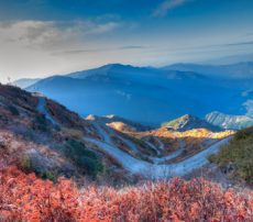
When the great botanist, Joseph Dalton Hooker crossed the Dongkha La during his travels across the East Himalayas, he described it as the most treacherous pass that he had ever traversed. It therefore comes as no surprise that not many travellers venture towards it. Located at a height of precipitous height of more than 18,000 feet, this pass is high up in the East Himalayas in Sikkim. It opens on the other end to face the roof of the world i.e the plateau of Tibet. Dongkha La might not be the average tourist’s cup of tea but for passionate trekkers however, just the spectacular landscape around the Dongkha La makes the arduous journey to it worthwhile.
How To Get There
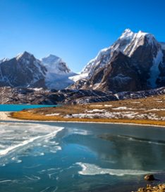
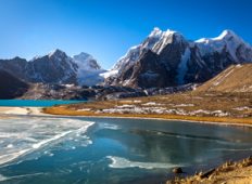
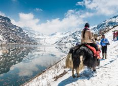
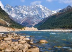
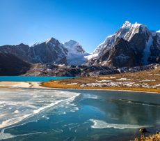
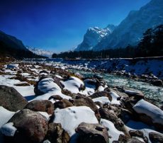
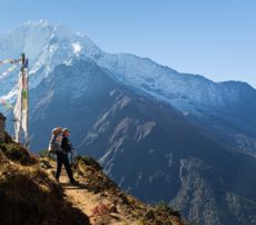
Though experienced drivers have been known to take a vehicle up to the pass, it is rare and hence, the only way to get here is by foot. The Dongkha La falls on the way from Yumesamdong or Zero Point in Yumthang to the Tso Lhamo Lake. The 8-9 km long trek is only advisable if you are an experienced trekker. The ascent to Dongkha La begins with a walk along the slender Dongkiachu river. The climb is relatively moderate until you come closer to the pass, at a distance of about 100 metres, when it gets steeper making for an almost vertical climb. The high altitude also causes the air in the region to thin making it difficult to breathe. Due to this it takes a minimum of 5-6 hours for an average walker to reach Dongkha La. Once you finally reach the pass, a steep downhill descent of about an hour and a half will take you to the vast expanse of the majestic Tso Lhamo, one of the highest lakes in the world. Go further west for about 5 km and you will reach Gurudongmar, another one of Sikkim’s scenic lakes.
When Should I Go
The pass is inaccessible during winters (November to February) and monsoons (June to September) for obvious reasons. The months between March to May and October are the safest time to trek to the Dongkha La Pass.
The Finer Details
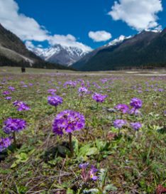
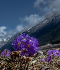
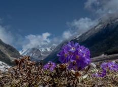
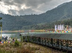
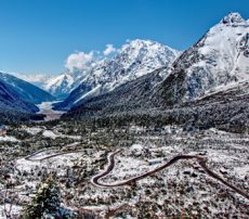
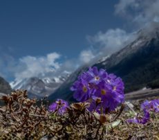
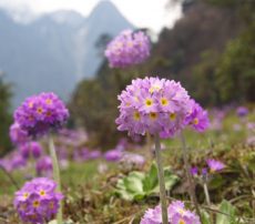
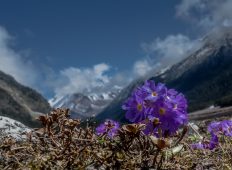
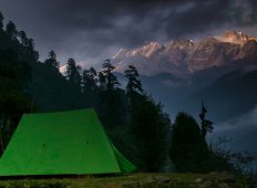
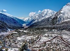
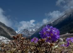
The trek to Dzongkha La takes you through stunning hillside carpeted in a riot of colours with alpine flowers such as blue poppies, eranthis, rhododendrons, etc. On the way you will cross two little lakes, one of which the river Donkiachu originates and flows into the valley of Lachung.
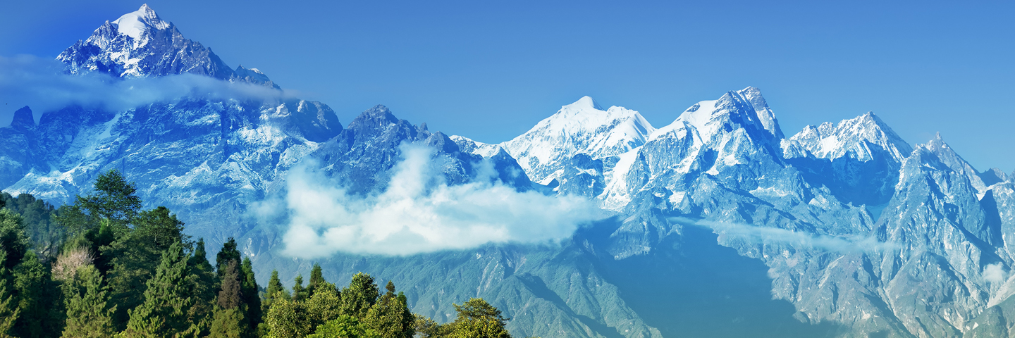
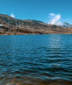
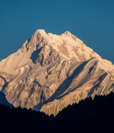
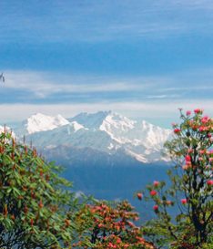
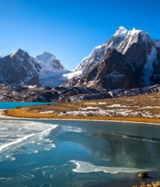
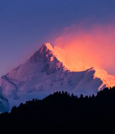
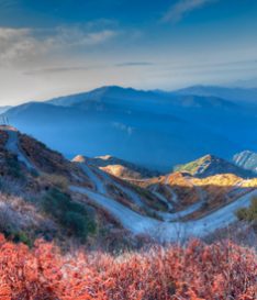
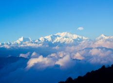
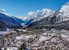
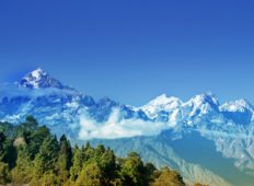
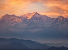
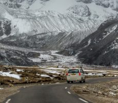
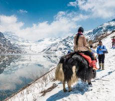
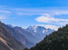
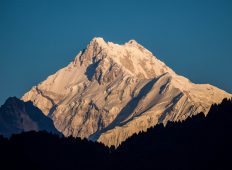
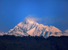
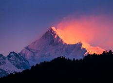
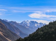
Mighty granite peaks greet you as you approach the snowy expanse of the Dongkha La. On the east towers the peak of Pauhunri, the highest peak in East Sikkim while the north is encircled by the rising peaks of the Chola range. The view of the Tibetan plateau is simply splendid—save a few hills here and there covered in snow, it is flat as a table top. From here you can also see the portion of the plateau that protrudes into Sikkim known as the Cholhamu Plateau. The reason behind why the roof of the world receives minimal rainfall is because of these very high mountains of Sikkim that prevent the moisture laden air from entering the Tibetan Plateau. Shining like an emerald about 300 metres below is the Tso Lhamo Lake. Look towards the west and you will see the Teesta River as it snakes across the Lachung valley splintering into several smaller tributaries.
Travel Tips
Owing to its closeness to the Indo-Tibetan border, the pass is controlled by the Indian army and one has to obtain relevant permits to travel to this region.
Wear adequate warm clothes including thermals for the region is very cold, even during summers. Make sure you are physically fit as the trek can be testing. Carry enough water and snacks along with medicines for altitude sickness since you will not find any human settlement on the way. Make sure you carry a pair of binoculars to make the most of the gorgeous landscape.
Get Instant Call Back
Why Choose us ?
What makes us diffrent from other tour package companies

